Hidden in the bedrock beneath the Greenland ice Sheet (GrIS) is an inventory of cosmogenic nuclides that is an archive of past GrIS change. The nuclide inventory likely tells a story that extends back beyond the Holocene that can be teased apart using a set of nuclides with different half lives. The GreenDrill project will collect and date rock samples from this archive beneath the ice, and then incorporate the findings into an ensemble of GrIS model simulations in order to further our understanding of the GrIS response to warming.
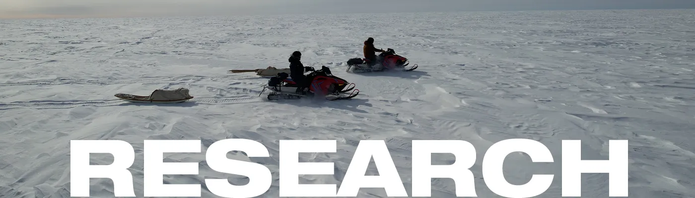
Cosmogenic nuclide sampling will occur along the ice rim in Northern Greenland, in four separate locations. Each location will support a transect of data of rock samples collected through different ice depths. The site selection focused on a set of criteria that included: bedrock lithologies that include either quartz or feldspar rich materials for the various isotope sampling; a transect of ice sheet thicknesses moving from ice free to 100 m to 300-500 m of ice cover; and a location where the ice sheet is frozen bedded at the base.

Image Caption: Seismic sampling involved drilling a small hole into the ice and then placing a small, concentrated explosive (PETN) into the ice, that when triggered, sends sound vibrations into the ice. The echo timing, strength and direction in the vibration return provide information on both ice thickness and the material beneath. This image shows an explosive being lowered into the hole by the geophysical team.
Prior to finalizing the sampling sites a geophysical study was conducted including reflection seismic imaging and radar reflection imaging, in order to confirm ice thickness, topography and basal thermal state. Combining these two techniques significantly improved our confidence about the bed properties sought. Seismic imaging provides strong differentiation between subglacial water and rock surfaces, while a wideband radar system was used to image thin cm to mm water layers that the seismic imaging has difficulty with.
GreenDrill is funded under the National Science Foundation (NSF) Office of Polar Programs.